We spent a day in Uyuni, taking care of some errands and enjoying a relaxing day. The next day, we set out to explore Salar de Uyuni, the largest salt flat in the world. The expanse is amazing. During the wet season (starting any day now), water does build up on the salt. But now, at the end of the dry, it’s very dry and solid. The salt dries in hexagons, stretching off as far as the eye can see. The hexagons are framed by ridges of salt, which are quite hard. We did do some riding in our own directions, but we made an effort to stick to tracks to avoid excess wear on our tires. There are several islands in the salar. One has some tourist facilities on it, so everyone goes there. We visited there briefly then headed off to another to camp. We’d been warned not to camp in the middle of the salar, as it gets used as a highway, and we didn’t want any rude awakenings. Once the wind died, it was perfectly quiet out there. In the morning, we visited some communities on the shore, under Volcan Tunupa. On our way back to Uyuni, we found a track heading in the right direction. When I checked my GPS, I realized that I was going to be sitting there for an hour, droning on. It’s really quite big.
(Note: These photos take place November 12 and 13.)
Here are some images…

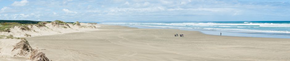
The expanse.

A "road"

My usual view of Tom.

Sailing along.

You need lots of sunscreen out here!

Inside a salt hotel.
Apparently, there used to be more salt hotels — that is, hotels built entirely of salt bricks, including the beds. They are no longer allowed on the salar itself — issues with sanitation and polution — and the photo above is from the last one that still exists on the salar. However, it no longer operates as a hotel, just a day stop, and they truck out all waste. There are still salt hotels on the edge of the salar, and new ones are being built. Some are quite luxurious. We visited one of those but decided that it was more than we wanted to spend for either food or lodging. But it has a great view!

The front porch of Hotel Tayka de Sal. Cheap by US standards, expensive by Bolivian standards.

The edge of Isla Pescado, the island with some tourists facilities.

The view from Isla Granda. Note our motorcycles at the edge of the salt. That's where we will camp.

Sunset from Isla Grande.

Approaching the edge of the salar, under Volcan Tunupa.

Super-saturated salt solution!! Not for our motorcycles. We found another way.

Lots and lots of stacked rocks.

The end of every trip to a salt flats -- cleaning the bikes.

OMG!! These are amazing pics! I can feel the warmth.. and the salt hotels are an amazing concept.
Is there any way we can follow your tour through an online mapping system? Are you “tracking” your tour on your GPS?
It would be fun to be a virtual “ride around” er!
Cheers, Anne
Great idea about the map page! I’ve been playing with it but haven’t solved it yet. I’ll give it another go when we really have high speed Internet again.
Pingback: Solar de uyuni now - The HUBB